The weather has been perfect for our first four days. A few more campers came each day but it has still not filled.
We watched the NFL games on Sunday and decided to catch up on some canoeing the next 3 days. We paddled about 3 miles each day following the marked canoe trail and paddling out in the bay when the wind was light.
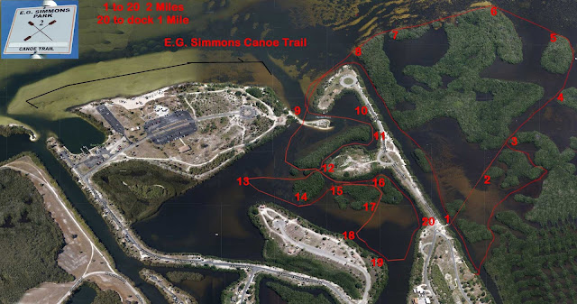
The trail is well marked on posts around all the mangrove islands but they don’t even provide a map so that paddlers have some idea how long the trail is and where it actually goes. So I copied our path on a Map Your Ride App on my phone and created this map. Click map to make it bigger. Feel free to copy.
If you follow the numbers in order from 1 to 20, it is a 2 mile paddle. At that point you can actually pick up your boat and carry it across the road back to the start. Or you could just paddle directly back which only adds another mile, for a 3 mile trip.
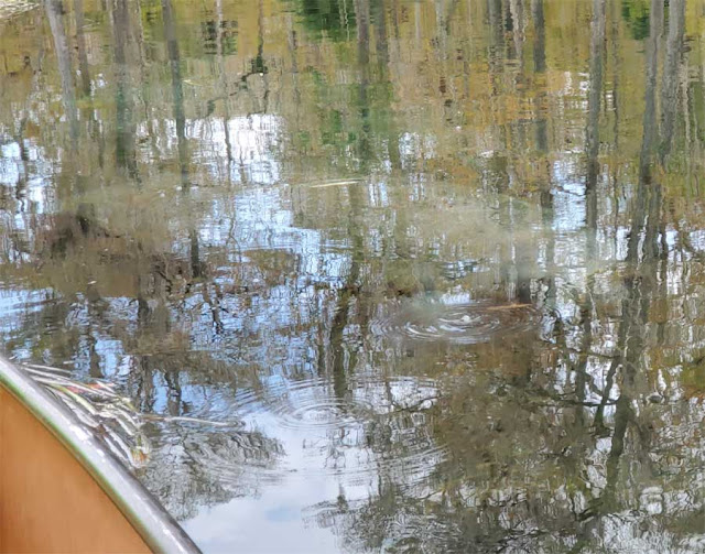
We did get to see a small Manatee in Manatee Bay, it surfaced right next to us and scared us while exhaling.
At high tide you can paddle right over the sandbar at the entrance to Manatee Bay.
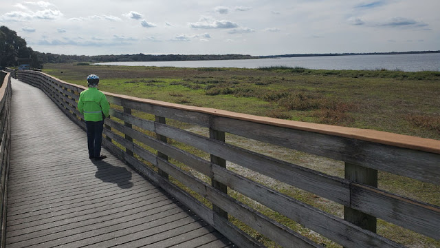
There are miles of paved roads in the park so it is easy to take a 6 mile bike ride without leaving the park. When the weather cools in a few days we plan to do some long bike rides around the towns of Ruskin and Apollo Beach.


